A high-altitude LiDAR atmospheric sensing system with HONEYWELL HALAS
Honeywell’s high-altitude LiDAR atmospheric sensing (HALAS) system measures atmospheric pressure, temperature, humidity, wind speed and direction. Credit: Honeywell

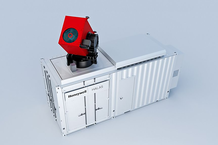
Deploy a High Altitude LiDAR Atmospheric sensing (HALAS) ground system to gather upper-air data — atmospheric pressure, temperature, humidity, wind speed and direction — and evaluate the data to determine if it could aid in weather forecasting. Partners will set up a HALAS ground system demonstration at the National Weather Service Baltimore-Washington Weather Forecast Office in Sterling, Va.