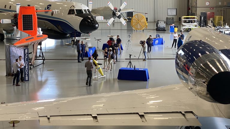
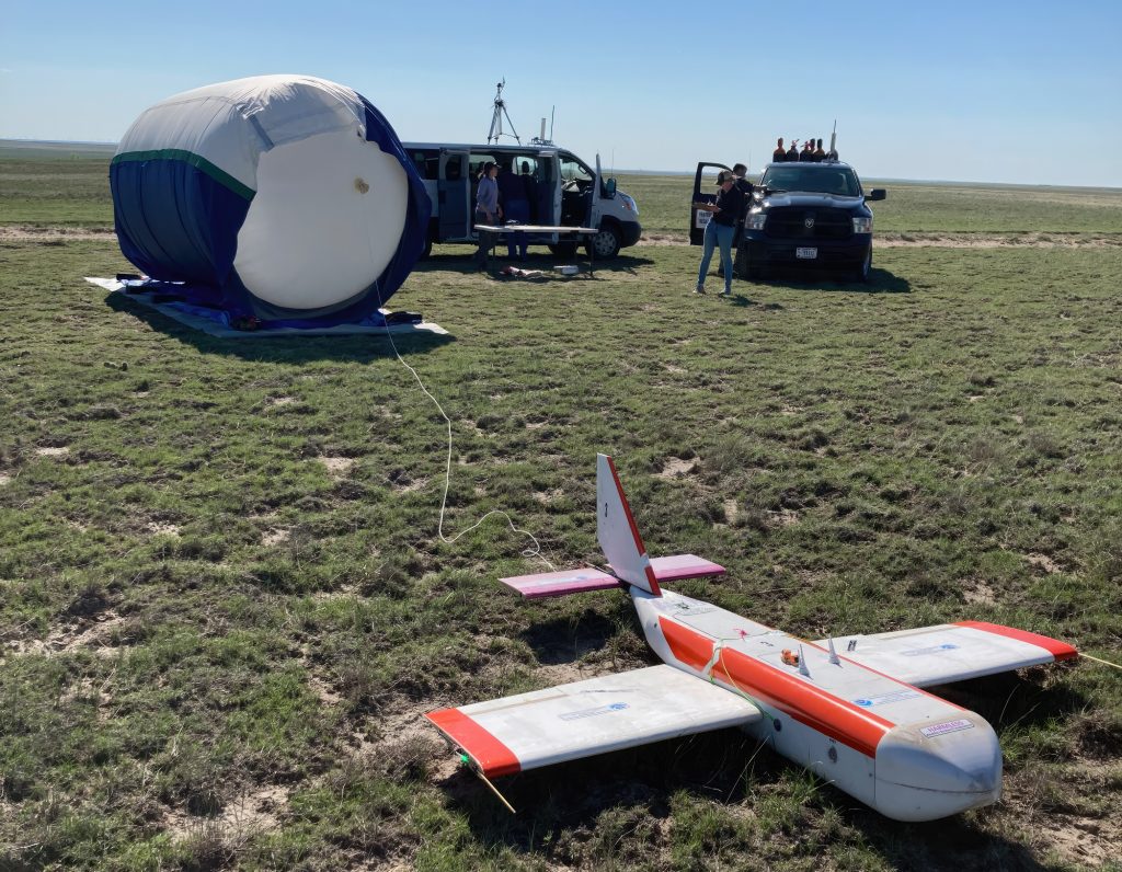
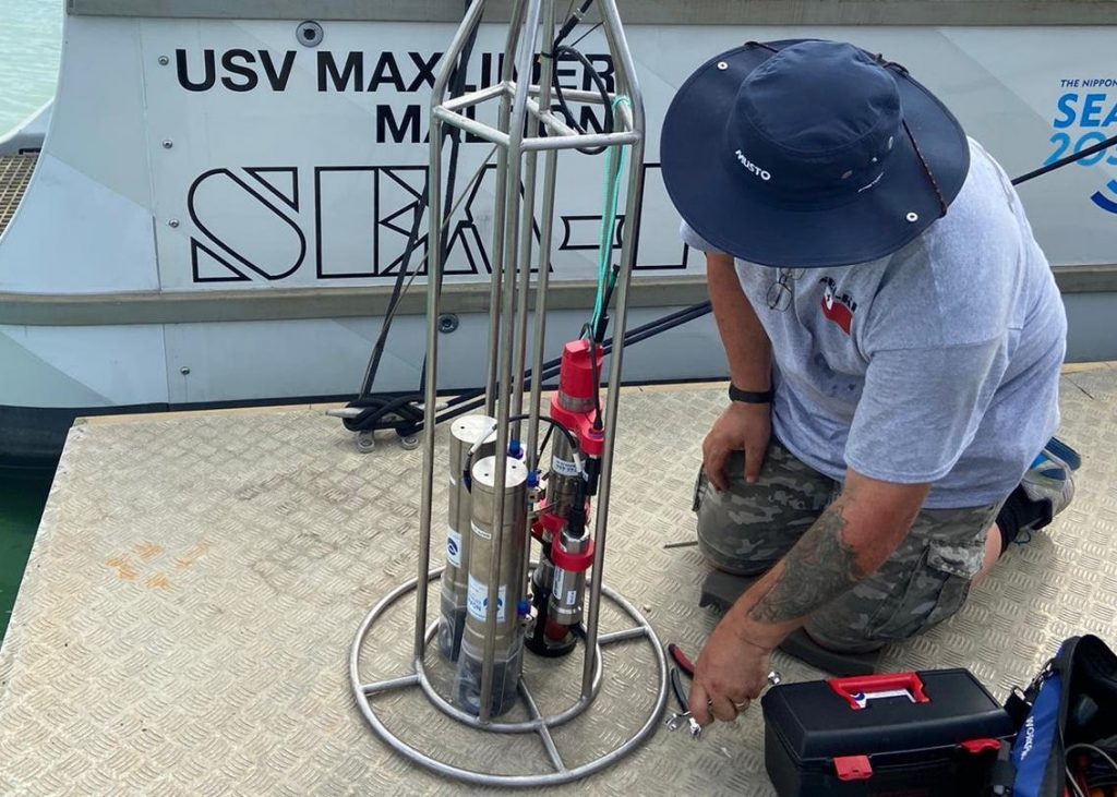
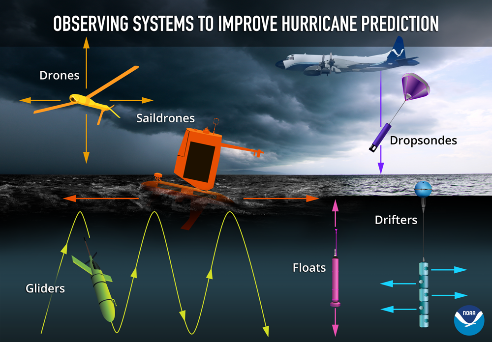
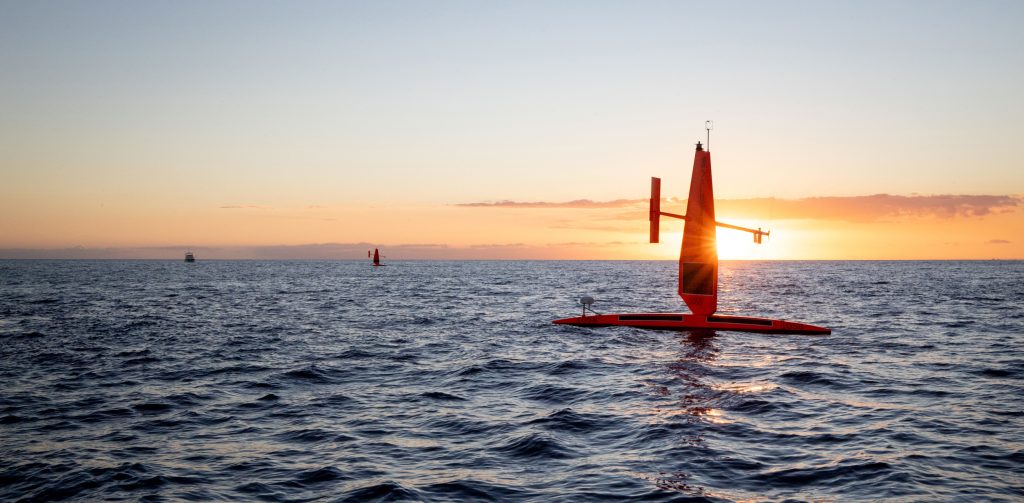
UxS

Depiction of several drone technologies floating together above and below the ocean surface.

NOAA uses array of marine and air uncrewed tools to improve hurricane forecast models

In partnership with NOAA, Saildrone Inc. is deploying seven ocean drones to collect data from hurricanes during the 2022 hurricane season with the goal of improving hurricane forecasting. For the first year, two saildrones will track hurricanes in the Gulf of Mexico.

NOAA uses array of marine and air uncrewed tools to improve hurricane forecast models Read More »

A saildrone surrounded by sea ice

Exploring the Pacific Arctic Seasonal Ice Zone With Saildrone USVs

NOAA PMEL researchers sent ocean drones to the U.S. Arctic to test their remote navigation capabilities close to ice and to collect data on Arctic weather, climate, and ecosystems. The saildrones were equipped to observe oceanic and atmospheric variables that are needed to estimate air-sea fluxes of heat, momentum, and carbon dioxide. Comparing Saildrone data to data obtained through existing collection methods allowed researchers to identify ways to improve ice navigation in the future.

Exploring the Pacific Arctic Seasonal Ice Zone With Saildrone USVs Read More »

Diagram showing ship-based operations for UAS Swarms

Charles River Analytics Expands Drone Research to Support NOAA Environmental Missions

NOAA SBIR Awardee to explore how unmanned aerial systems can further the agency’s unique environmental stewardship goals. Charles River Analytics was recently awarded its first two Phase I Small Business Innovation Research (SBIR) contracts from the National Oceanic and Atmospheric Administration (NOAA) to explore how unmanned aerial systems can further the agency’s unique environmental stewardship goals.

Charles River Analytics Expands Drone Research to Support NOAA Environmental Missions Read More »