NOAA SBIR helps small business find traction and long-term success
Sometimes success comes with time and perseverance, but an early boost can make all the difference – especially when it comes to a small company’s chances of getting off the ground.
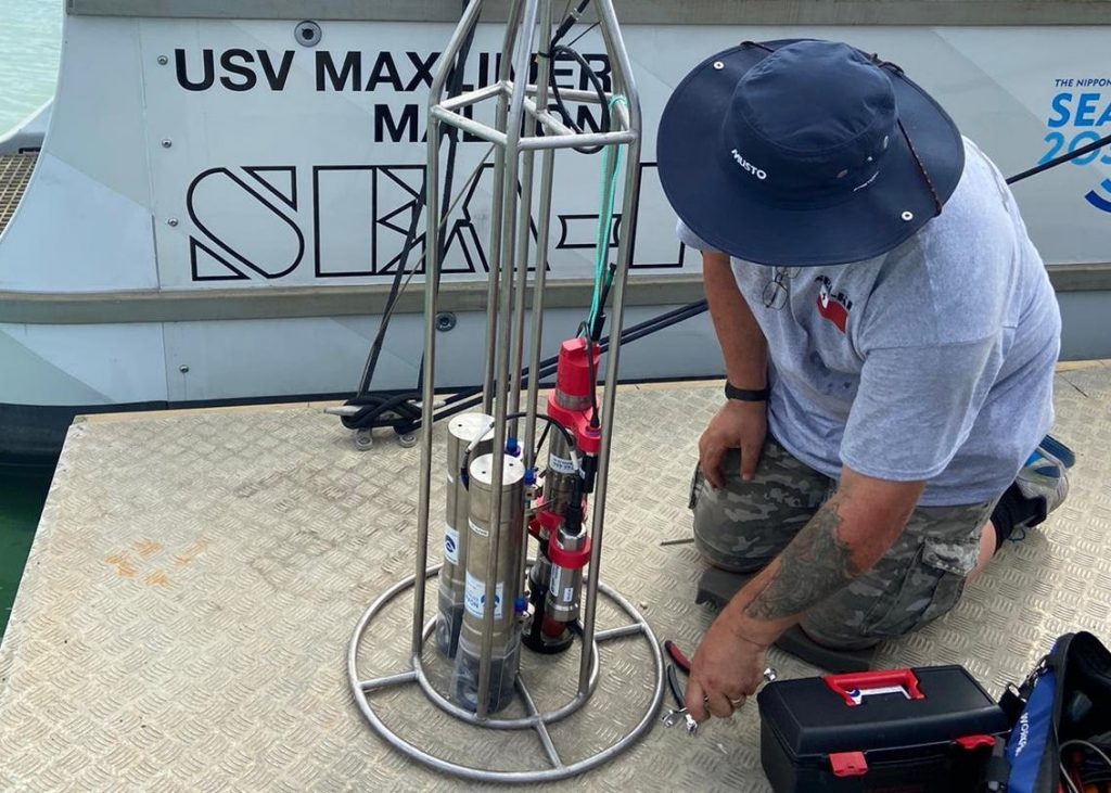
When small business owner Vincent Kelly, founder and director of Green Eyes, LLC, was asked what his company gained from its participation in the NOAA Small Business Innovation Research (SBIR) Program, his response hit a key note. “Here I am, some fifteen years later, and the business is standing on its own and doing reasonably well. That would not have happened without our NOAA SBIR funding.”
NOAA SBIR helps small business find traction and long-term success Read More »