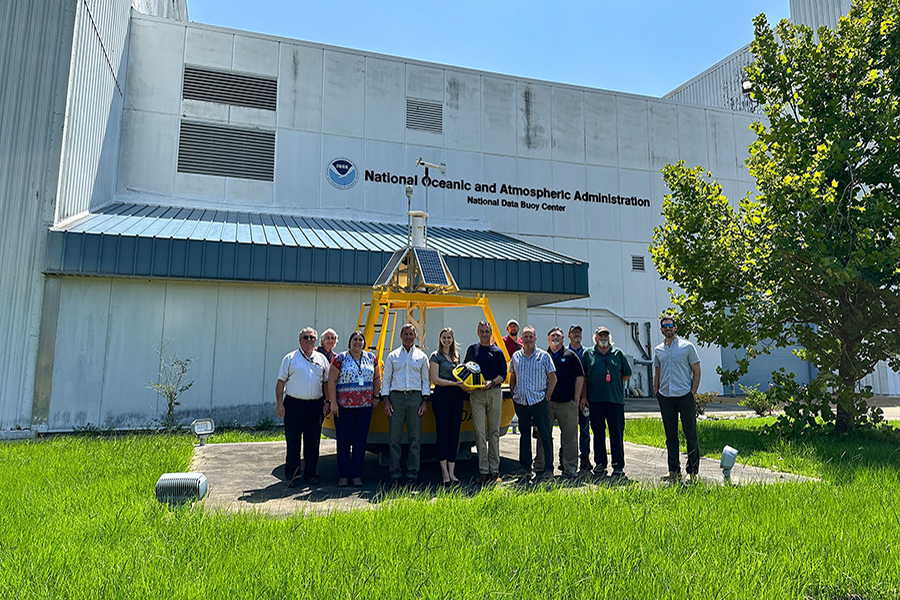
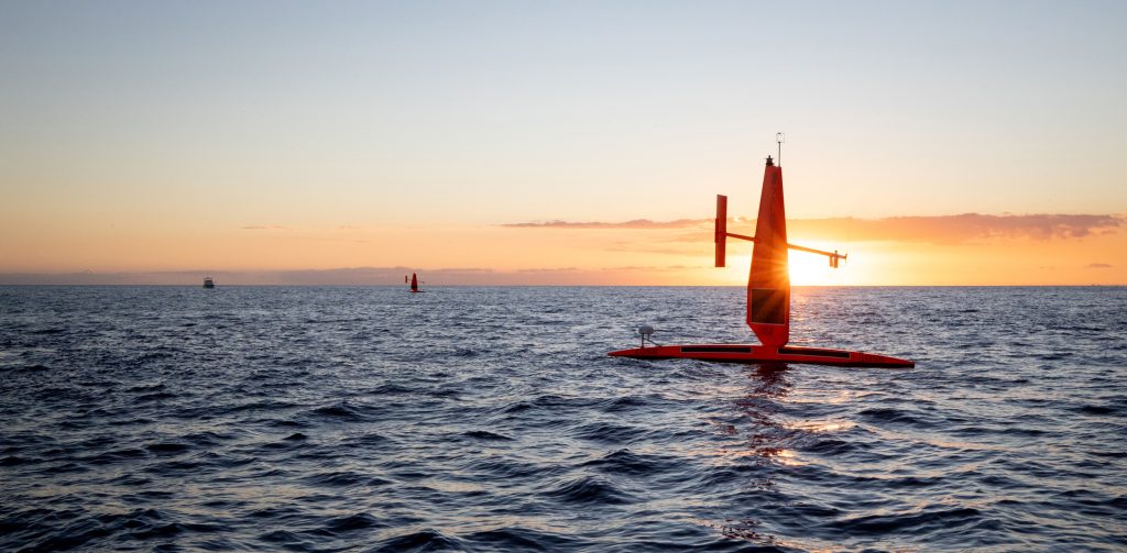
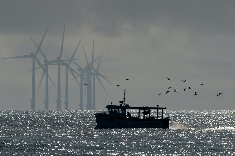
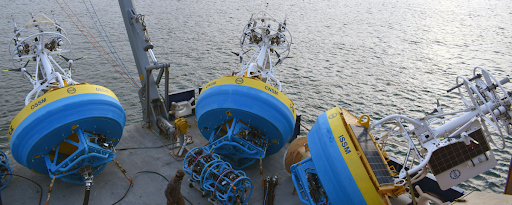
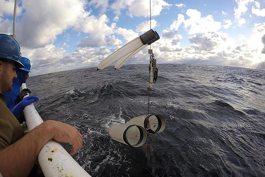
Partnerships

Parent category.  May or may not be used as a tag in the future.

Depiction of several drone technologies floating together above and below the ocean surface.

NOAA uses array of marine and air uncrewed tools to improve hurricane forecast models

In partnership with NOAA, Saildrone Inc. is deploying seven ocean drones to collect data from hurricanes during the 2022 hurricane season with the goal of improving hurricane forecasting. For the first year, two saildrones will track hurricanes in the Gulf of Mexico.

NOAA uses array of marine and air uncrewed tools to improve hurricane forecast models Read More »

world map with locations highlighted across Pacific Ocean and Indian Ocean

Eruption highlights how NOAA technological innovation powers public safety, economic development, and scientific discovery

When a volcano in the South Pacific Ocean erupted in January 2022, NOAA researchers were well-equipped to study the multi-hazard event by sky and by sea. Key technologies and strategic partnerships made it possible for NOAA to issue warnings that saved lives around the world, while also collecting scientific data that will improve forecasting models and disaster response for future events.

Eruption highlights how NOAA technological innovation powers public safety, economic development, and scientific discovery Read More »

metal tide gauge at the end of wooden dock with trees in background

Partnership to advance ecosystem models, water level predictions

Collaboration designed to improve response to coastal climate risks. NOAA and climate analytics company, Jupiter Intelligence, signed a formal agreement to advance understanding of coastal ecosystems, precipitation and water level predictions. The goal of the partnership is to support community response to coastal risks to mitigate effects of climate change…

Partnership to advance ecosystem models, water level predictions Read More »